
Central Wyoming has trails—for everyone.
Whether hiking, biking, horseback riding, or running in the warmer months, to snowshoeing, fat biking, or cross country skiing in the colder months, find YOUR trails in central Wyoming.
Explore our region’s trails below, and maybe you’ll find yourself out on one soon. From trailheads right in town to options a little more far-flung, there’s something for every day of the week and every month of the year. Learn More▸
Updated 2-16-2026
Trail Report
-
Groomed singletrack with spring‑like, degrading conditions.
Warm weather and freeze‑thaw cycles are making grooming difficult, and the surface is softening throughout the day. Please ride, hike, and run responsibly to protect the trail base. -
Full range of conditions: icy in spots, muddy in spots, snowy in spots. Mostly dry but hike prepared for all conditions.
-
Formerly known as Squaw Creek
Dry — Excellent Conditions.
This system is riding beautifully right now, with firm tread and great early‑season flow.
-
Mostly dry with intermittent wet sections — Excellent overall.
Expect a few soft spots, but the majority of the system is in great shape for February.
-
Dry — Excellent Conditions.
The system is riding extremely well, and with Phase II construction underway, it’s an exciting time to be out there. -
No report.
-
No report
-
No report.
-
No report
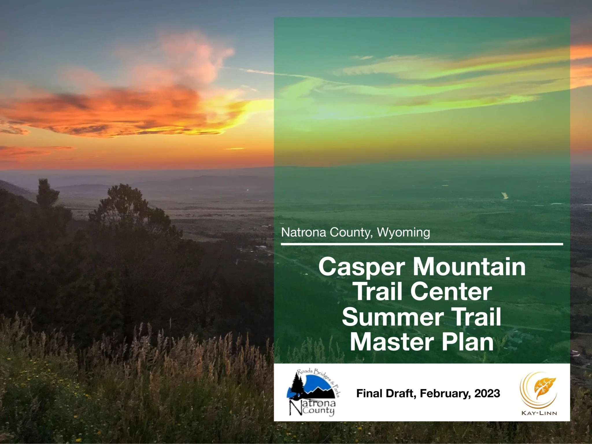
Casper Mountain Trail Master Plan
Over the last few years we have been working with multiple organizations to create a master plan for a trail expansion at the Casper Mountain Trails Center. Download it to see what we’ve been up to!
Casper Mountain
As central Wyoming’s flagship trail system, this area offers about 10 miles of well-rounded mountain riding, with a mix of flowing singletrack, heart-pounding climbs, and a few chunky, moderately technical sections. Mix and match optional loops and cutoffs to vary length and elevation gain. Eadsville and adjacent trails are well-maintained, and in the winter, select trails are open to fat bikes.
New trails are currently under construction, so stay tuned for updates!
Info and Directions
Mileage: 10 miles, with loop options varying from 1 to 6 miles
Summer use: Hike, Bike, E-bike, Equestrian
Winter use: Nordic ski, Snowshoe, Fat bike (no hiking, no dogs)
Trailhead: About 15 minutes south of Casper on Casper Mountain Road / HWY 251 (Google Maps pin)

Duncan Ranch
Duncan Ranch features a 5-mile main loop with two alternate cut-offs. The trails include flowing sections through pine woods and sage steppe, climbs with expansive views and glimpses of the Laramie Mountains, fast descents and switchbacks, a few small bridges with an optional “skinny,” and some moderately technical rock gardens.
With a 600-foot elevation gain, this trail is moderately challenging and popular for mountain biking, hiking, and horseback riding.
Info and Directions
Mileage: 7 miles, with loop options varying from 3.5 to 5 miles
All-season use: Hike, Bike, E-bike, Equestrian
Trailhead: About 15 minutes south of Glenrock on Boxelder Road (Google Maps pin)

The Bridle Trail
Rotary Park on Casper Mountain
The Bridle Trail begins in Rotary Park. This bi-directional hiking trail (no bikes, please) offers grand views of Garden Creek Falls, the city of Casper, and wide Wyoming plains stretching north. The full outer loop is 4.5 long and very steep in parts, rising over 1,200 feet. Viewing platforms and sitting benches can be found throughout the lower trail areas. Sturdy shoes and water recommended.
The Park is open year round, dawn to dusk, weather conditions and snow accumulation prevailing. Learn More.
Info and Directions
Mileage: 4.5 miles, with options varying from 1/4 to 4.5 miles (trails map)
All-season use: Hike, Equestrian
Trailhead: About 10 minutes south of Casper, just off Garden Creek Road (Google Maps pin)


CWTA is proud to partner with the Rotary Club of Casper and the Natrona County Parks Department to bring you a new way to experience Rotary Park. Click below to learn more and choose your route!

Crossroads
Mostly flat terrain near the North Platte River makes this an approachable trail for beginners. Close proximity to downtown Casper makes it easy to enjoy these trails, even if just for a 30-minute spin. Crossroads tends to dry out early in the spring and stay dry later in the fall than most other trails in the area. Short and sweet, riders can try different loops to increase the length of this trail.
Mileage: 5 miles, with loop options varying from 1 to 3 miles (trails map)
All-season use: Hike, Bike, E-bike
Trailhead: Adjacent to the North Casper Sports Complex off Bryan Stock Trail / North Beverly Street (Google Maps pin)


Platte Creek
This lower-elevation trail offers early- and late-season singletrack when snows cover higher trails. Mix and match optional loops to vary terrain, length, and elevation gain. The southern loop offers a semi-technical stretch of rock garden, while the inner loop adds additional distance and elevation gain and loss. Several small bridges are maintained to ease water crossings along the Platte Creek (Squaw Creek) trails.
Mileage: 6 miles, with loop options varying from 3.5 to 4.5 miles (trails map)
All-season use: Hike, Bike, E-bike, Equestrian
Trailhead: Five minutes south on Coates Road from CY Avenue / HWY 220 (Google Maps pin)


Geology Interpretive Trail
This educational, interpretive signage project in Casper's Rotary Park was installed in 2025 and is a collaboration of the Rotary Club of Casper, Natrona County Parks, Wyoming Naturalist Program, and Natrona County Weed & Pest.
Standing at the foot of the new Geology Interpretive Trail, one can gaze up at the canyon walls and down at one's feet to see rocks formed during the Precambrian Era, over 2.5 billion years ago.
The interpretive trail is a short, steep climb from Rotary Bridge to the highest waterfall viewing platform. The signs are placed strategically to help climbers catch their breath and learn fun facts in the process. Beyond the platforms, hikers can choose to continue climbing the Geology Viewing Trail, utilizing the trail viewing guide (PDF).
Info and Directions
Mileage: 0.23 miles, out and back, steep ascent.
All-season use: Hike
Trailhead: Off the Bridle Trail in Rotary Park, about halfway to Garden Creek Falls.
